different modules
powerful software
TS - GNSS - WEB
On this page:
Cube-h24 is a software suite designed for monitoring applications, it gathers information about a selected site and allows surveyors and engineers to remotely evaluate the collected data. This software is developed for Microsoft Windows and Linux OS, it offers the possibility to download, manage, and process the data collected from one or more sensors installed on the monitoring site.
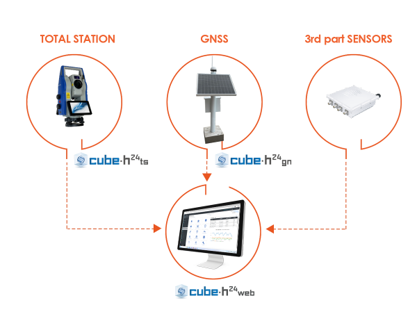

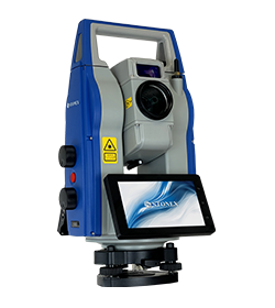
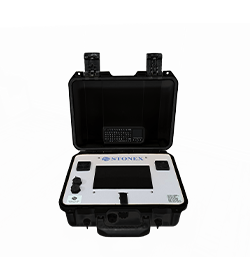
Cube-h24 TS is a software solution designed for the remote management of total stations in monitoring applications. The software can be installed on various devices; however, to ensure reliable 24/7 performance, it is provided together with a rugged hardware unit RM100.
It enables advanced surveying configurations and measurement options, including the calculation of the total station position using a least squares adjustment and a remote orientation function. It also allows automatic correction of instrument orientation without the need for on-site intervention.
MULTI MEASUREMENT SETTING
DATA UPLOAD TO SERVER
ALARM AND REPORT

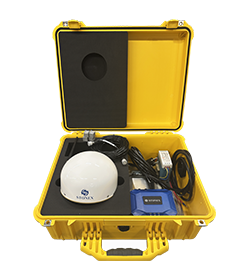
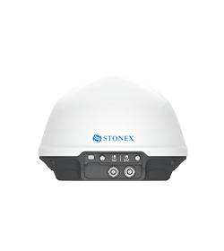
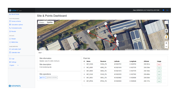
Cube-h24 GN has been designed to manage GNSS CORS receivers data in order to monitor point displacements, in natural environments or man-made structures.
Monitoring points are implemented using dedicated solutions to ensure the sensor stability and achieve maximum accuracy with minimal noise.
The software automates post-processing operations, reading RTK data and saving to database.
WEB BASE APPLICATION
DESIGN SURVEY SCHEMA
SCHEDULER FOR AUTOMATIC CALCULATIONS

Cube-h24 WEB is a monitoring tool designed for surveyors, geologists, civil engineers and more. It’s the data publishing platform: a web-based application designed to inspect measurements from a variety of topographic, geotechnical and environmental sensors and supports several advanced features like real time alerting and an automated reporting system.
It allows multiple projects to be managed and provides the correct information for interpreting site events to be monitored.
USER MANAGEMENT
– SURVEYORS
– FINAL CUSTOMER
SUPPORTED SENSORS
GEOTECHNICAL SENSORS:
piezometers, crackmeters, inclinometers, vibrating sensors, load cells, load and pressure cells, tilt meters, strain gauges, extensometers, etc.
METEOSTATION
GEOLOGICAL DATA
ALERTS
Cube-h24 WEB supports
real-time alert management
CHARTS AND REPORTS
The report section allows to generate automated reports based on a template that includes text, harts, data tables and
images.
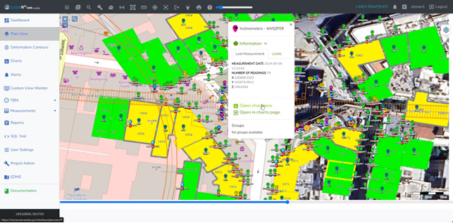
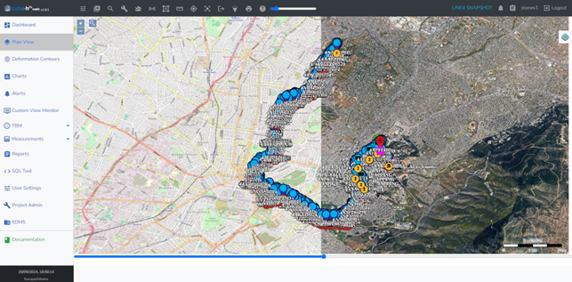
PLAN VIEW
– MULTI BACKGROUND MAPS
– MEASUREMENTS
– SENSOR ICONS AND DIRECT LINK TO CHARTS
The solution STX-DIG (2D module) determine the direction/heading using two passive antennas set on the cabin roof. The passive antennas are connected with a dual Antenna GNSS Receiver integrated into the Android Tablet. The tablet provide just the heading when it is used in 2D and stand-alone way (without the use of any correction). Without any correction (Ntrip or Base) the GPS sensors will be use only like a compass heading. In this way it is possible to know the Excavator Rotation with a precision of 0.2°
In 1D or 2D module, when the excavator is moved, the operator use the laser receiver installed on the stick to the laser reference plan when he moves the excavator.
The 2D ½ module use the NTRIP signal to get elevation through the GPS antenna. In this way the operator does not need any Laser Receiver on Excavator Stick and Laser Level.
The main characteristics of the angle sensor are speed, reliability and reduce dimension:
The sensor can be fit on the machine using a weld Bracket Place (included in the solution)
Yes, it is.
In March 2022 Stonex had the opportunity to carry out a series of surveys inside and outside the “Torretta Viscontea” located in the Monza Park.
* Mandatory field