September, 2026
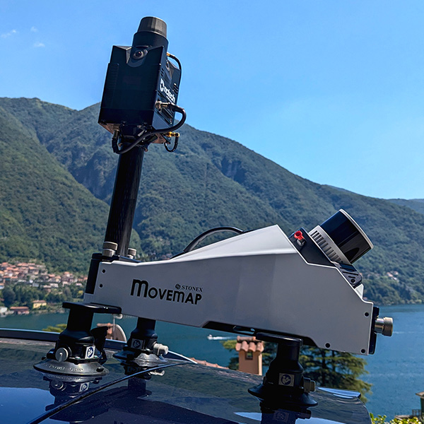
We are pleased to present Movemap, an all-in-one mobile mapping system designed for fast, simple, and accurate reality capture in any surveying environment.
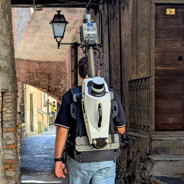
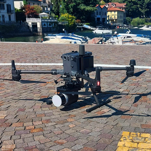
Featuring a 300 m range LiDAR, a high-precision INS, and an integrated 360° panoramic camera, it offers unmatched versatility, seamlessly switching between vehicle-mounted, backpack, and drone configurations. With its tool-less design, intuitive WebApp control, and complete Cube-map processing workflow, Movemap delivers an efficientend-to-end solution, producing accurate, colorized, and georeferenced point clouds with confidence.