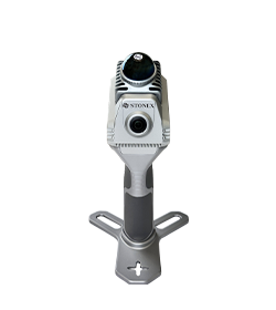
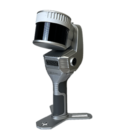
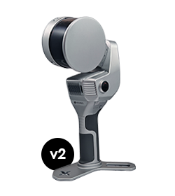
3-return sensor

Built-in GNSS

300m max-range

Movemap

Mobile Mapping System

3-return sensor

Built-in GNSS

300m max-range

On this page:

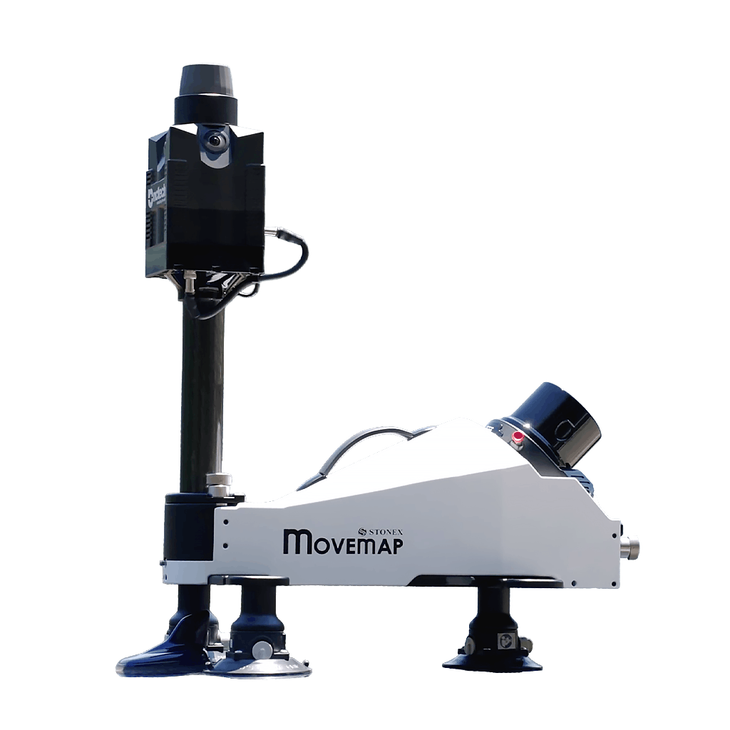
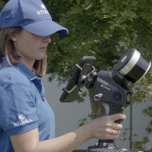
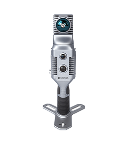
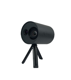
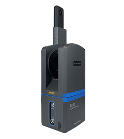
Movemap is an advanced mobile mapping system designed to deliver fast, efficient, and accurate reality capture across any surveying scenario. Compact, lightweight, and built for rapid deployment, it empowers true single-user operations with a seamless plug-and-play experience and tool-less setup—ready in seconds.

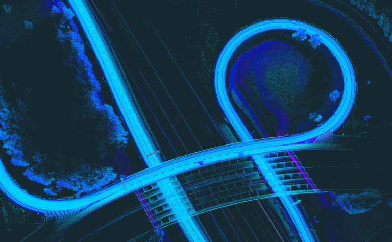
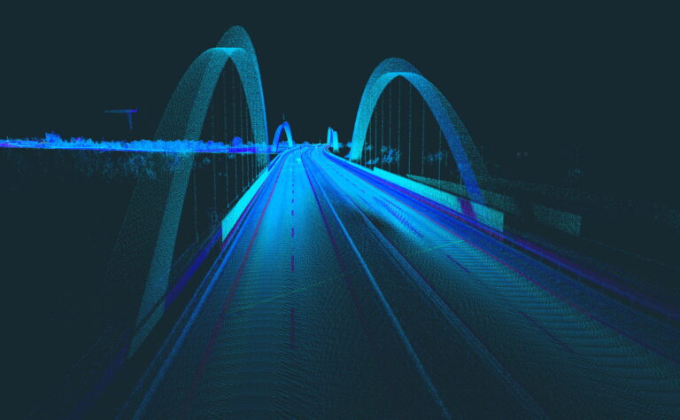
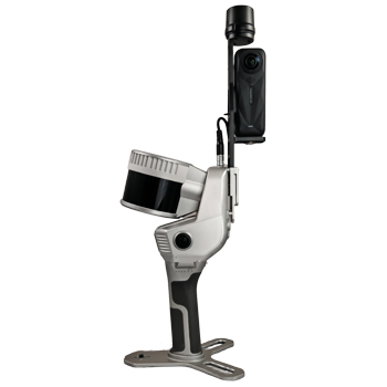
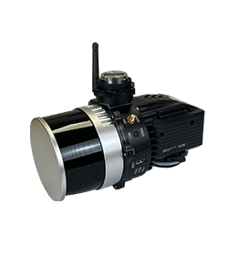
Powered by a 300-meter range LiDAR sensor, a high-precision inertial navigation system, and a fully integrated 360° panoramic camera, Movemap combines performance, mobility, and operational simplicity within a single unified solution.

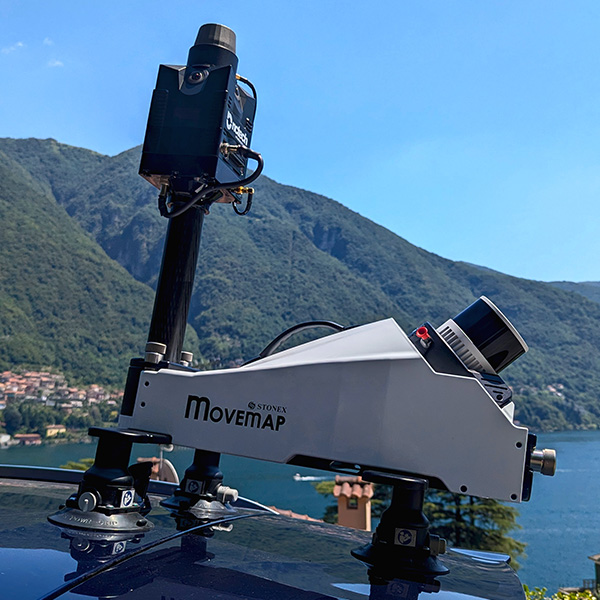
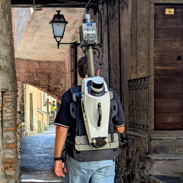
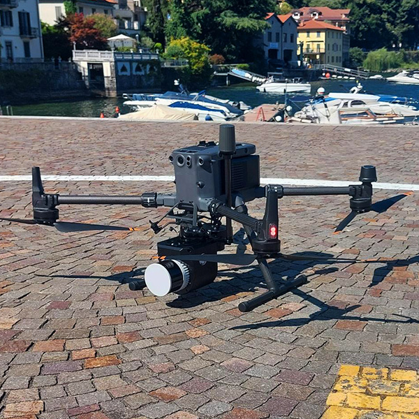
Its key strength lies in its unmatched versatility: seamlessly transitioning from a vehicle-mounted system to a wearable backpack for hard-to-reach areas, or to an aerial solution mounted on drone. One system, any environment – ensuring complete, efficient, and continuous data capture from the ground to the sky.

DRIVE. WALK. FLY.

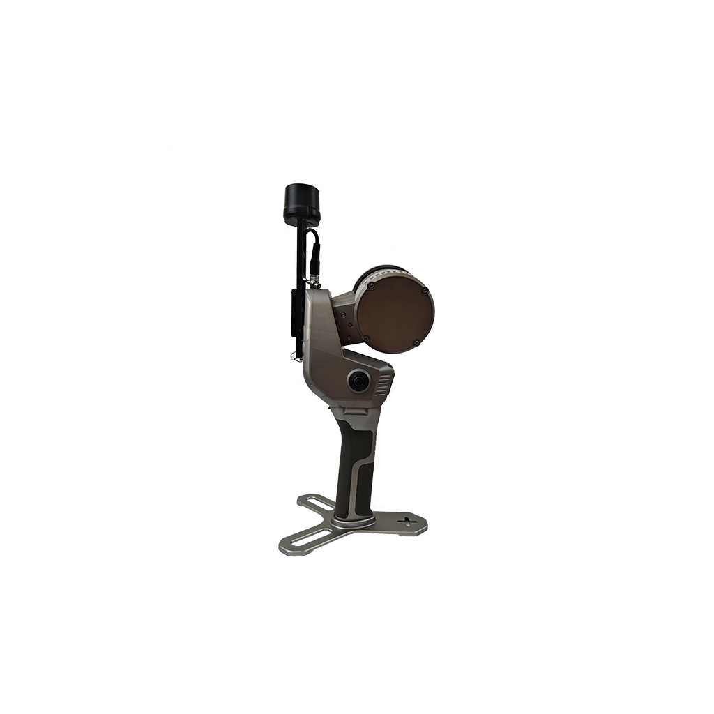
The system can be rapidly installed on a wide range of vehicles, adapting to different roof configurations through a fast, stable, and secure solution. Thanks to its modular design, it can be quickly reconfigured with optional kits to suit any scenario.

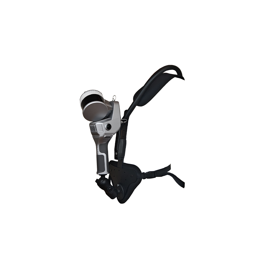
Mount it on a backpack to access narrow streets, pedestrian areas, or restricted traffic zones—ensuring continous data capture where vehicles cannot operate.

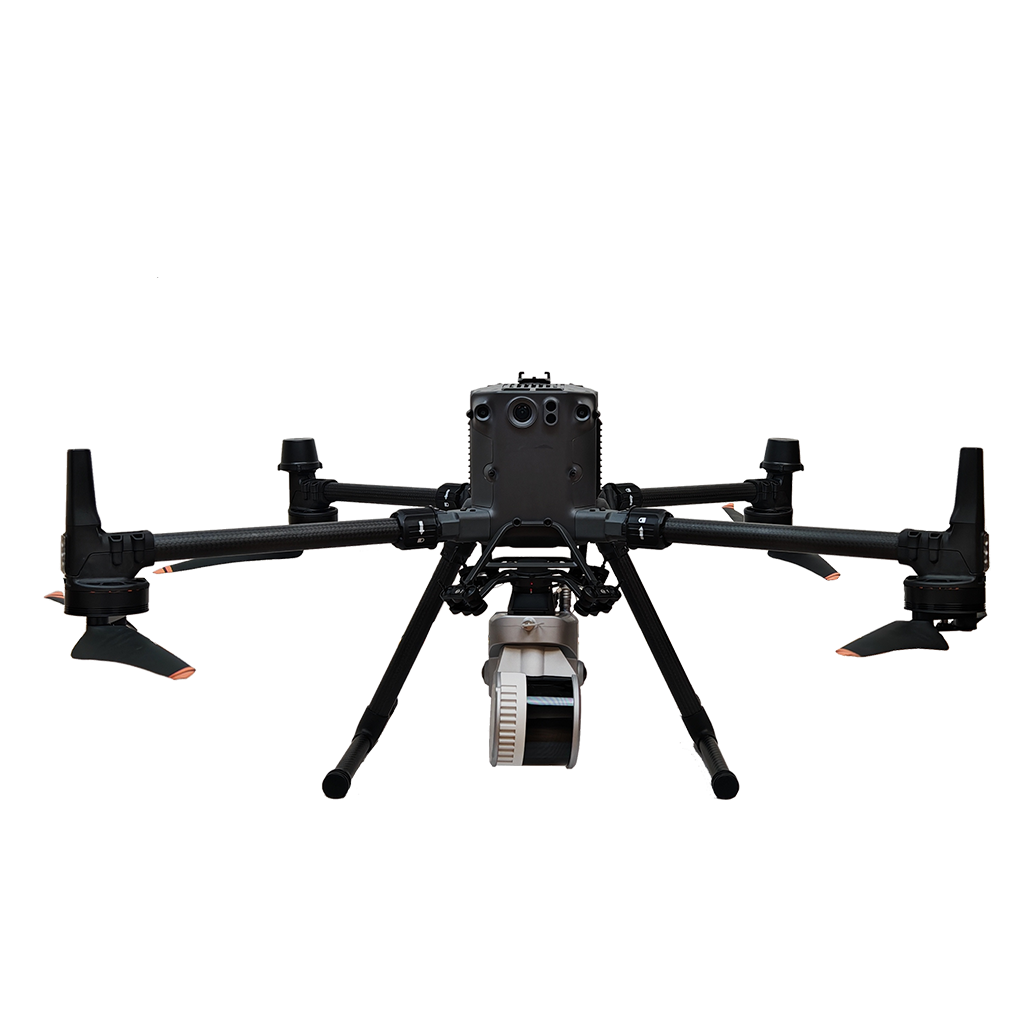
Alternatively, install the LiDAR unit on a DJI drone through a SkyPort adapter and by simply replacing the camera, extending your survey from ground to air. This flexibility allows you to achieve complete coverage from every perspective, with a single, unified system.

ALL-IN-ONE SOLUTION

A fully integrated system combining hardware, software, and processing workflow within a single seamless solution. From data acquisition to final deliverables, every component is designed to work in perfect harmony – eliminating complexity and reducing setup time.
No need for multiple devices or third – party integrations: everything is optimized to ensure efficiency, reliability, and consistent results across every project.

TOOL-LESS BY DESIGN

The system features a fully integrated architecture with no loose cables to manage,
and no tools needed for assembly. Everything can be set up in seconds – arrive on site and start scanning immediately.

REAL TIME RESULTS

The built-in visual camera makes the real time SLAM algorithm more stable, especially in weak structural textures environments. The data are ready to be used as soon as the survey is completed.

INTUITIVE CONTROL. COMPLETE CONFIDENCE

The user-friendly WebApp keeps all essential information clearly in view – everything
you need is exactly where you expect it, ensuring an error-proof workflow in the field.
Back in the office, the Cube-map software, with its multiple modules and advanced
features, provides a complete solution tailored to your needs, giving you full quality control through clear and intuitive visual reports.

USER‑CONTROLLED BORESIGHT CALIBRATION

Boresight calibration ensures maximum georeferencing accuracy of the point cloud by precisely estimating the angular offsets between the INS and each sensor. The system
allows users to perform boresight calibration autonomously – no factory intervention required.

HIGH PERFORMANCE COMPUTATION

Very efficient system for perfect data return

BUNDLED SOFTWARE

Process your Movemap data seamlessly with Cube-map, the dedicated office software featuring multiple modules designed to meet every workflow requirement.
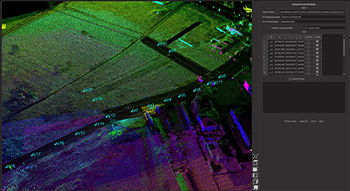
The base version enables full data processing, including LiDAR and image boresight calibration, advanced georeferencing management, and precise trajectory handling. Integrated quality control tools provide intuitive visual diagrams, synchronized with map-based trajectory visualization for immediate validation of survey accuracy.

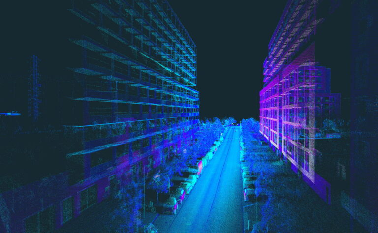
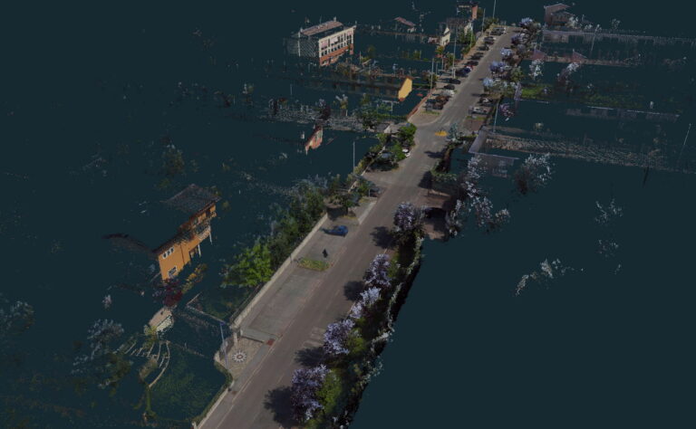
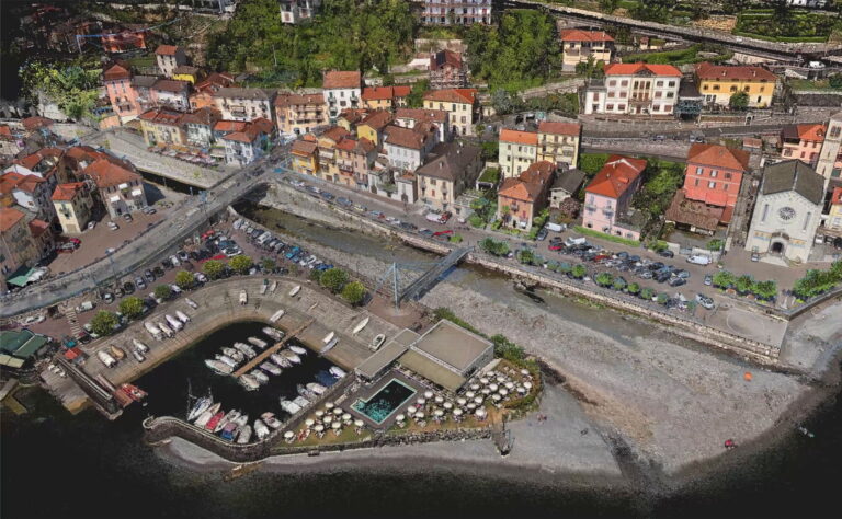
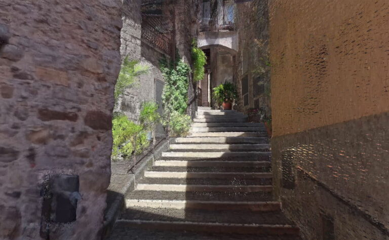
The result is a fully optimized, colorized, and accurately oriented point cloud, along with high-quality panoramic image extraction (available in vehicle and backpack modes).

CUBE-MAP REFINE

Enhance your 3D reconstruction quality with the dedicated REFINE module.
Define Ground Control Points (GCPs) to anchor your data to known coordinates and achieve maximum accuracy. Improve alignment using strip adjustment tools, or leverage advanced SLAM algorithms for reliable results even in environments with denied or degraded GNSS signals.

CUBE-MAP PRIVACY

Ensure full compliance with privacy regulations by adding automated anonymization capabilities.
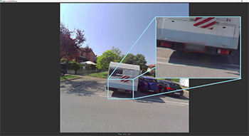
The PRIVACY module detects and blurs faces and license plates in panoramic imagery, allowing you to safely manage and share data in accordance with data protection requirements.

Video

ACCESSORIES

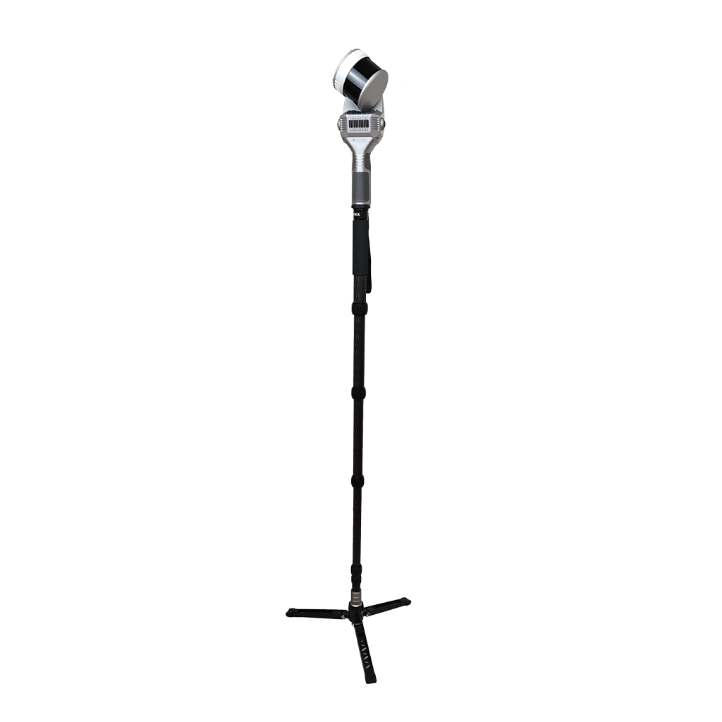
Hold the X200GO on the monopod for a stationary survey in key areas with the X-Whizz mode.
The quick-lock swivel makes the pole quick and easy to extend to different heights.

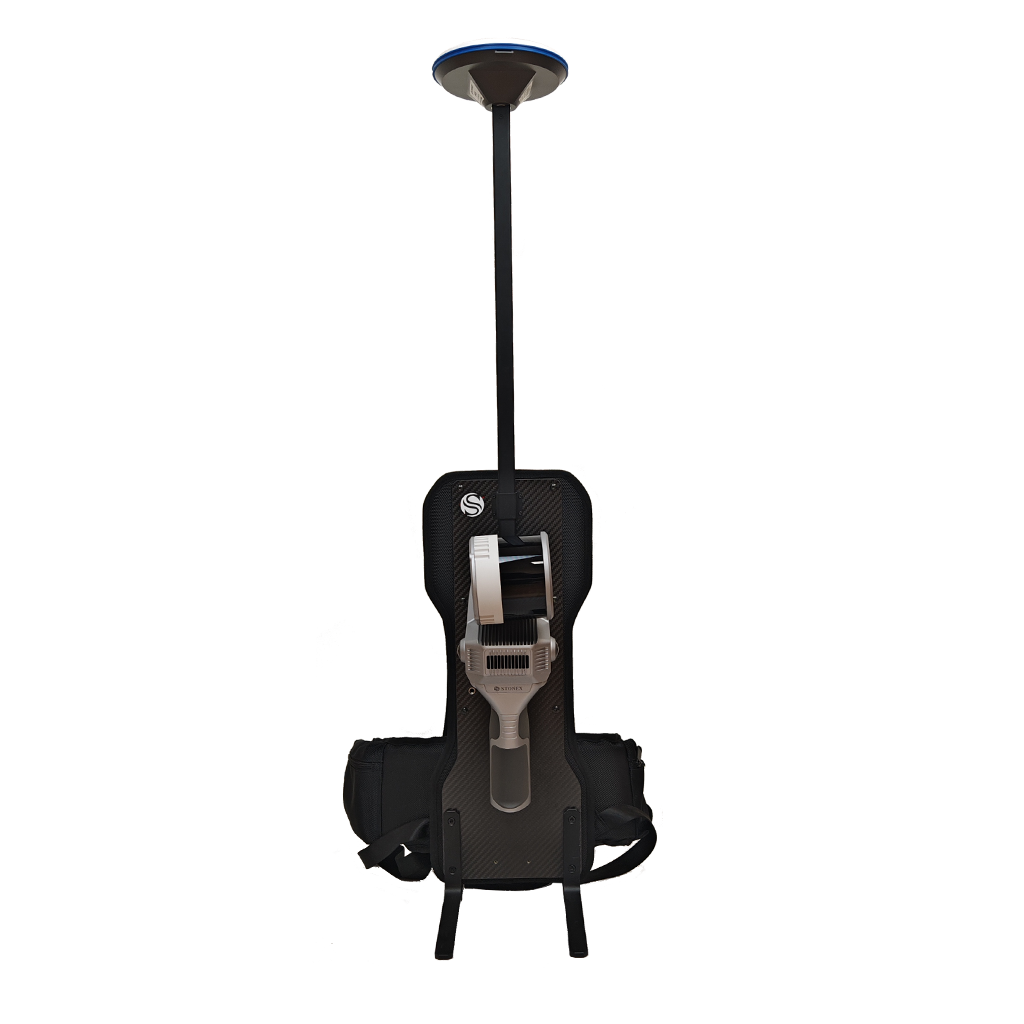
A solution to mount X200GO on your back and to combine it with the RTK module. Extended surveys will become a simple walk.

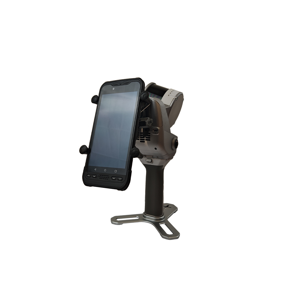
You can use your tablet docket to the device to have one to have one hand free while surveying. The tablet mounted on the back of the scanner allows you to always have eyes-on scan real time preview.

Distribute weight over both shoulders, freeing your hands. Adjustable in both height and angle, it is easy to put on and take off.

RTK module can help the system, adding GNSS info to LIDAR and IMU. If the GPS does not have a satellite connection, such as indoors, the system will rely on LIDAR and IMU to locate itself.

Holder for DJI M350

Insta X360 X4/X5/DJI Osmo360 support

FAQ

Send Us a Message

* Mandatory field