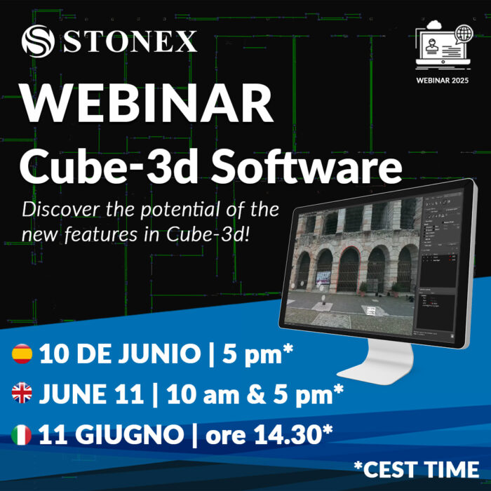
Webinar – Scopri le nuove funzioni in Cube-3d v3.1!
10 e 11 giugno | Online Partecipa al prossimo webinar di Stonex e scopri la potenza della nuova versione di Cube-3D! Esplora il pieno potenziale di questo potente software e scopri come può portare l’elaborazione dei dati 3D a un livello superiore. Scopri le potenzialità di Cube-3d, la soluzione...