Geotag
200.000 pts/s
Compact & lightweight
Handheld Scanner
200.000 pts/s
Geotag
Compact & lightweight
On this page:
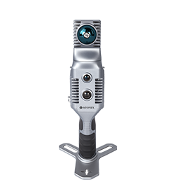
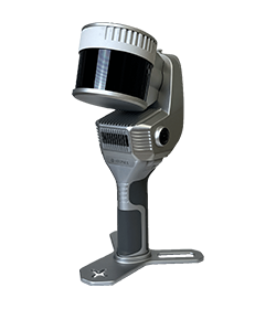
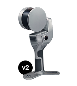
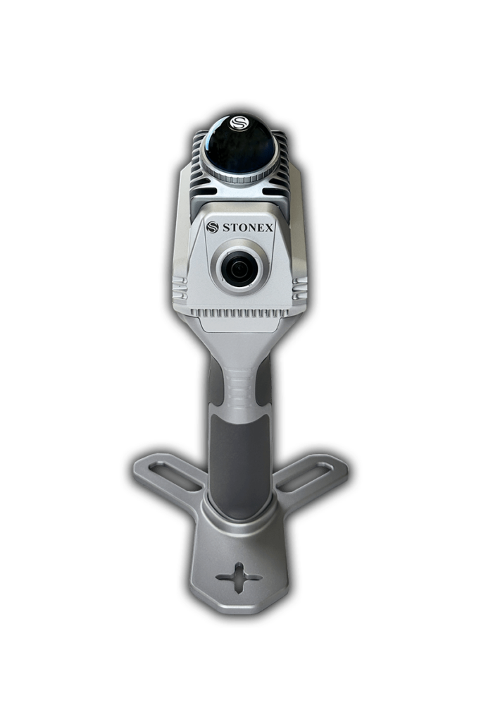
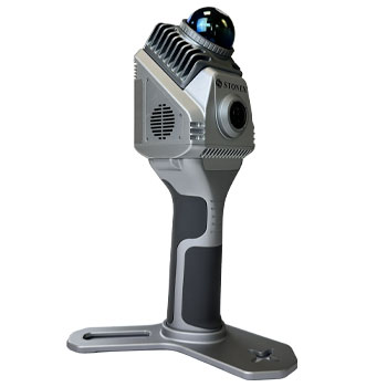
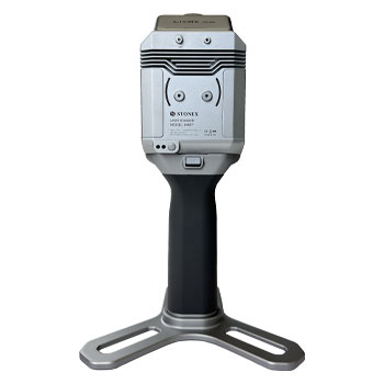
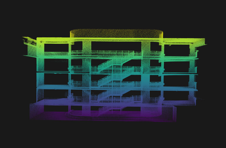
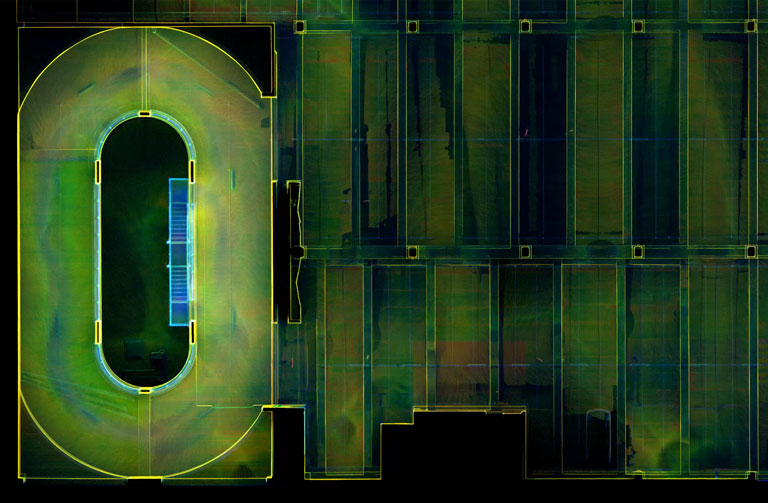
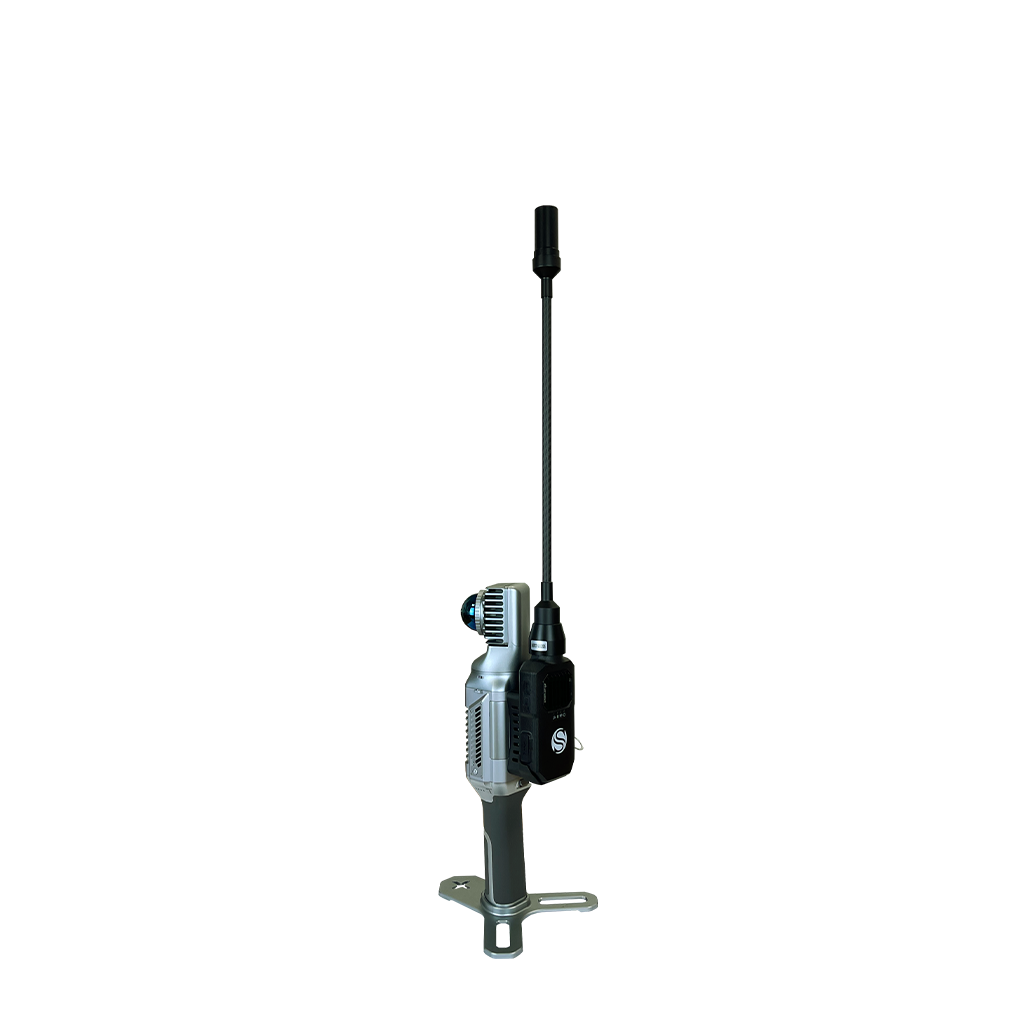
X40GO is a compact system providing high-precision point cloud data, based on SLAM technology.
The 70-meters range LiDAR orientation has been designed to maximise coverage and a 12-megapixel camera provides texture information to the 3D model.
An affordable and simple solution, the idea for interior surveys and layout generation.
GOapp
GOapp is Stonex SLAM’s dedicated mobile application to manage projects, real time point cloud display, image preview, firmware upgrade and other operations. The APP runs on Android and iOS operating systems.
Cube-3d Genesys
Dedicated processing software for Stonex SLAM data, designed to transform raw acquisitions into optimized, georeferenced and ready-to-use 3D results through a streamlined workflow.
GEOTAG COLLECTION
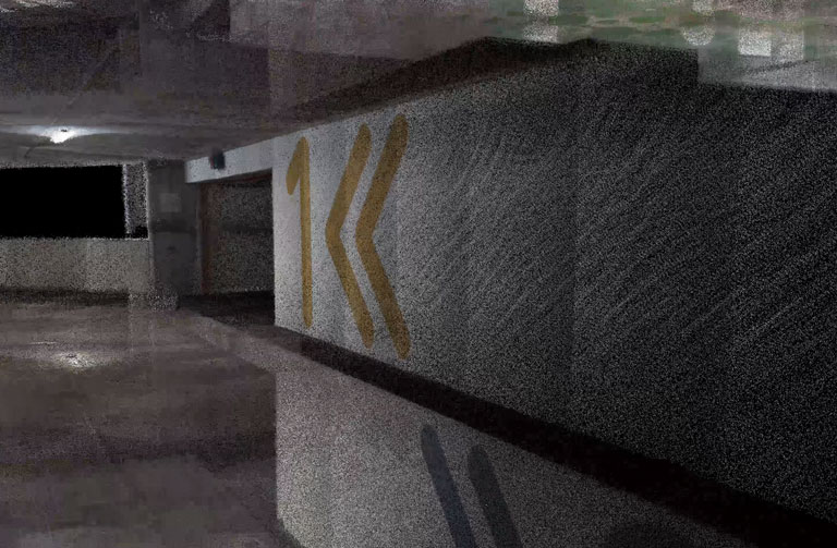
Directly in the field you have the possibility to take pictures or add notes related to your position. Those information will be availble and consultable inside the point cloud.
RAPIDITY AND REDUCED WORKLOAD
No more multiple scan station, just move around the scene to collect the entire 3D point cloud, without time-consuming cloud to cloud alignment.
REAL TIME PREVIEW
See your scanning progress in real-time using the dedicated GOapp.
AUTOMATIC CONTROL POINT MEASUREMENT
When capturing data, X40GO is able to collect reference points too. They can be matched with known control points to georeference the scans.
RGB CAMERA
A 12 MP RGB camera provides texture information
HIGH PERFORMANCE COMPUTATION
Data processing can be done in a few clicks, obtaining the best result for the situation, even processing batches of scans.
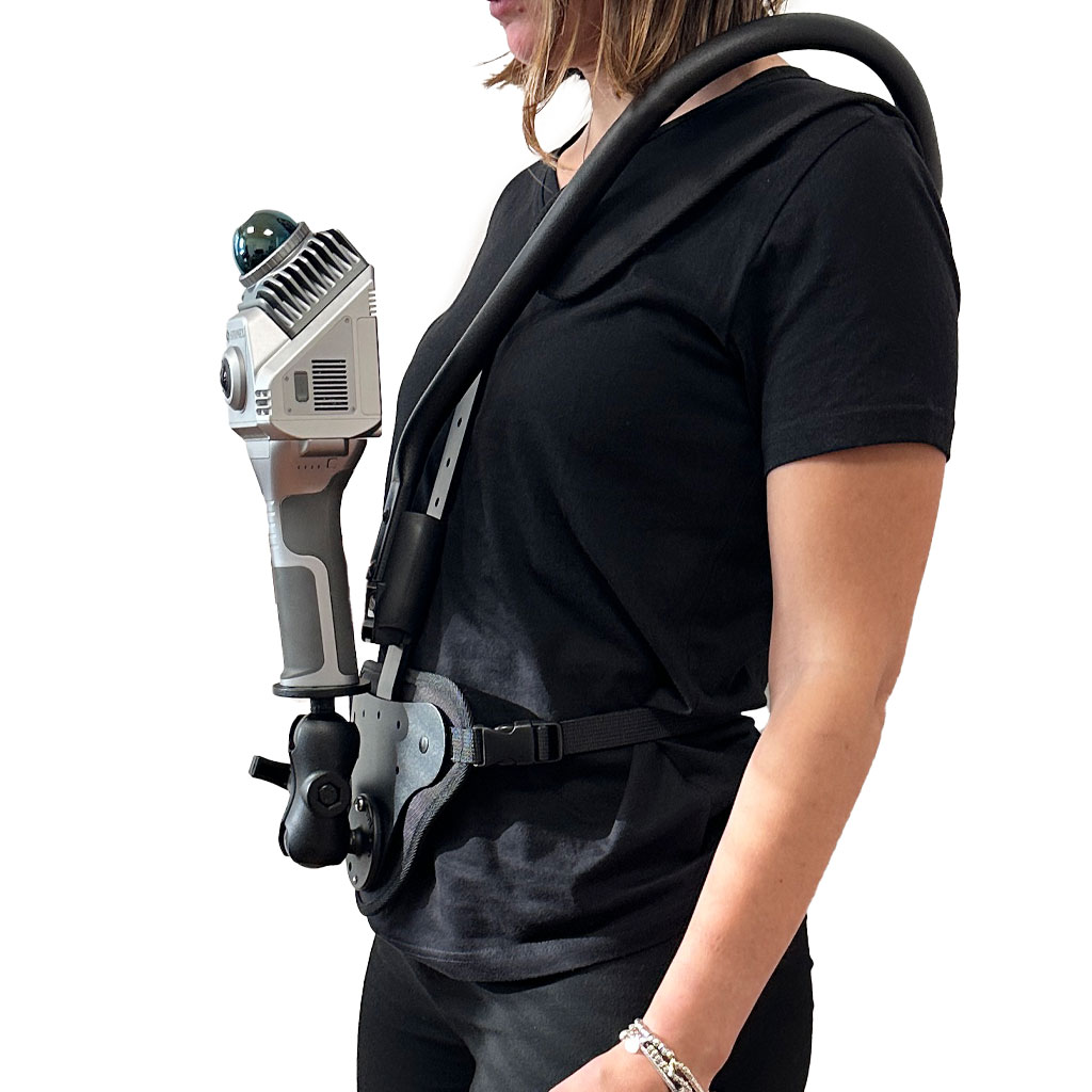
Distribute weight of X40GO over both shoulders, freeing your hands. Adjustable in both height and angle, it is easy to put on and take off.
No, it is not mandatory. You can choose to collect data using the Android App, in case you need to see the real time preview point cloud. Otherwise, the power button of the device can work as scanning start and stop.
Yes, darkness affects neither the geometric data nor the intensity of the point cloud.
Only the color information will not be usable, having taken dark photographs.
The range shown on the brochure represents the maximum distance achieved by the lidar.
However, you have to keep in mind that in order for the SLAM algorithm to be able to process the cloud optimization, you must have geometric elements within the 50-meter range. Therefore, it is not recommended to work in environments that are too open, with no buildings or objects around.
In general, it is not mandatory: the heterogeneity of the environment may be sufficient. On the contrary, if you are in a difficult situation for SLAM, closing the loop means adding a constraint that helps the system.
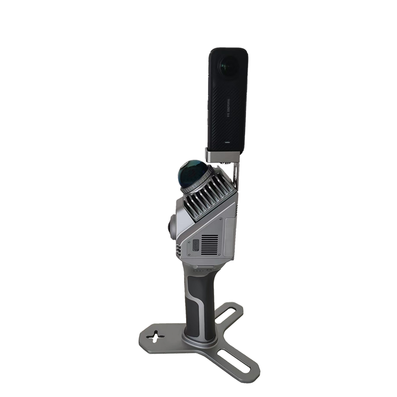
Stonex SLAM scanners are all equipped with point cloud colouring cameras, but if you prefer to have spherical images that you can navigate through to see more detail or take measurements more easily, the panoramic camera is the solution
Discover how a SLAM Laser Scanner can be very useful in every enviroment
Lorem ipsum dolor sit amet, consectetur adipiscing elit. Donec tincidunt eleifend quam, non imperdiet est tristique suscipit. Nunc luctus rutrum neque, nec facilisis velit interdum eget.
* Mandatory field