Different modules to work efficiently
Import point clouds without limitations
Windows OS and Cloud
A complete software ecosystem for 3D data
Different modules to work efficiently
Import point clouds without limitations
Windows OS and Cloud
On this page:
Cube-3d brings together Stonex software solutions for processing, managing, analysing and sharing 3D data.
From SLAM processing and photogrammetry to advanced point cloud tools and cloud-based visualization, each solution is designed for a specific stage of the workflow.
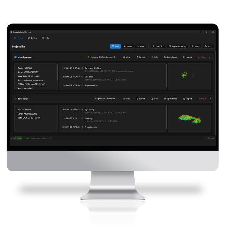
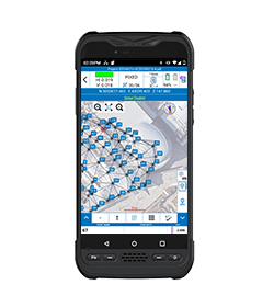
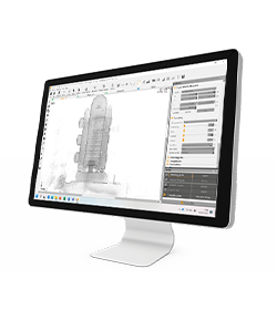
Dedicated processing software for Stonex SLAM data, designed to transform raw acquisitions into optimized, georeferenced and ready-to-use 3D results through a streamlined workflow.
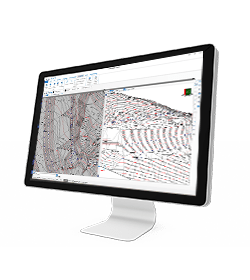
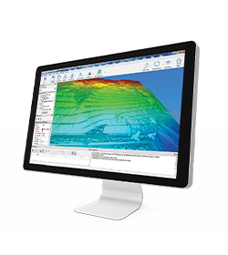
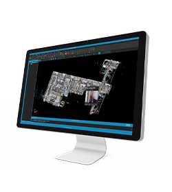
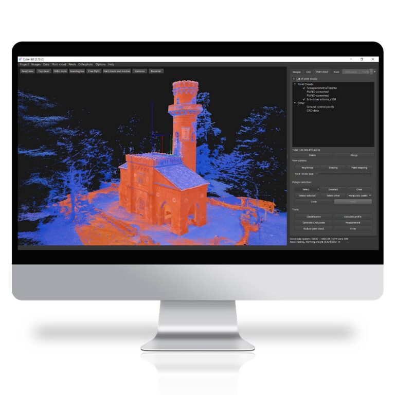
A flexible environment for photogrammetry, point cloud editing and deliverables generation.
Available in PHOTO, SCANNER and PRO configurations to match different project needs.
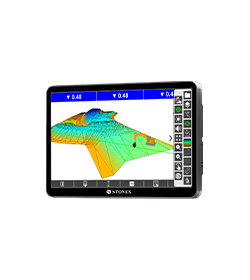
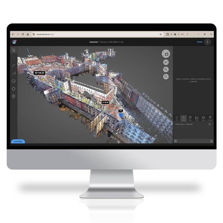
A web-based platform for accessing, visualizing and sharing 3D project results online, making collaboration, presentation and final data delivery easier.
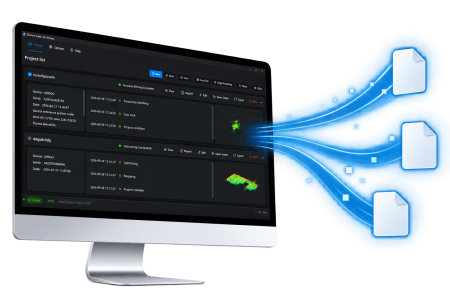
• Point Cloud *.las *.e57 *.rcs
• Trajectory *.txt
• Pano Images *.jpg
• 3DGS *.ply
• Geotags *.jpg *.csv
• Report *.pdf
• Aerial images
• Video
• Images taken by any hand camera
• Total stations & GNSS points
• Region geoid data
• *.dxf data
• Cube-a format *.cx3d
• Photogrammetry point cloud
• LIDAR point cloud
• XML surface data
• Orthophoto maps
• Underwater images
• Predefined camera parameters import
• Telemetry data import
• Camera offset support
• Cube-a format *.cx3d
• Bathymetry sonar cloud
• Orthophoto *.Tiff*.JPG*.PNG*.KMZ
• Textured 3D model *.obj
• Point cloud *.e57*.las*.ply
• Digital surface model *.obj*.xml
• Regular/irregular grid mesh
• Contour lines *.dxf *.pdf
• CAD drawings *.dxf
• Selected points *.dxf *.txt
• Quick scketches *.pdf *.jpg *.png
• Survey maps *.dxf *.pdf *.jpg
• Camera parameters
• Undistorted images
Your Cube-3d license includes 75 GB of expandable cloud storage, giving you immediate space to upload, manage and access your project results online.
Access your project data anytime, anywhere, directly from a web browser. Visualize point clouds, meshes, orthophotos and CAD data without installing a specialized software.
Share project results with clients and collaborators through a simple link. Let them explore data, take measurements, add annotations and review project information directly online.
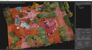
CLASSIFICATION
Benefits from an industry-leading classification engine with best-in-class point cloud customization tools that give users fast, easy-to-use, and simple data classification.
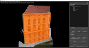
ORTHOPHOTO
It allows to calculate high-resolution, traditional and true, digital orthophotos with cm-grade precision in perfect geo-referenced details.

CROSS SECTIONS, PROFILES AND CONTOUR LINES
From point cloud data, it will draw a definition line and calculate single vertical cross-sections or multiple transverse profiles with user-defined intervals.
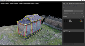
CAD ENGINE
Integrated CAD functions give you the power to work on your project with a complete layer system, snapping tools, drawing options and measurements.
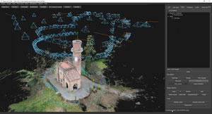
MULTIPLE SURVEY MANAGEMENT
In a single project, process images captured by any handy camera, UAV drone or multiple-camera. Integrate your data with traditional surveys or 3D data coming from other sensors.
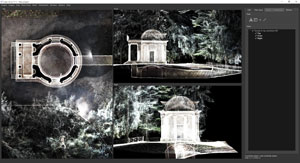
2D VIEWS
From the point cloud, generate 2D views from which you can create sections and draw with CAD tools. Extracting information from the point cloud has never been easier!
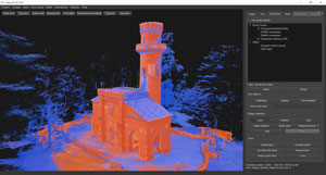
REGISTRATION
Use manual registration to join point clouds or meshes, with the possibility of scaling models.
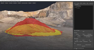
VOLUMES
Calculation of volumes with a single click. Or compare different models for cut & fill estimates, providing a colour map and value report.
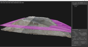
MANIPULATION TOOLS
Dedicated tools to move points, increase/decrease height, flatten, and so on. Permit the prediction of future surfaces/results of the areas.
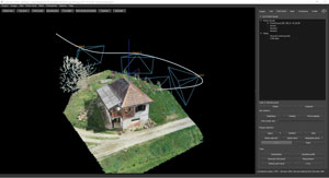
FLYTROUGH
Define a route in your 3D model, which can be navigated by recording a video.
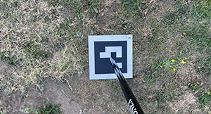
AUTODETECTION TARGETS
Stonex targets guarantee immediate detection. In addition, up to 40 meters AGL, the coded targets allow fully automatic orientation.
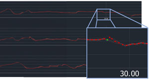
PROFILES
Enjoy the powerful profiles editor. Check the interpolation of the profile over the point cloud and make any changes you like to export a perfect and ready-to-use profile.
3D surveying for cultural heritage documentation The Galleria Borbonica, located beneath the historic center of Naples, is one of Italy’s most fascinating underground heritage sites.
Surveying a Complex Urban Site In the centre of Riva del Garda, ZA Srl was tasked with carrying out a complex demolition project that required a detailed understanding of the building before work could begin.
The DIRECT (Disaster and Recovery Team) team from Politecnico di Torino has resumed its 2026 activities. Master’s students in Architecture and Building Engineering Nicolò Gallo, Cristian Imbriani, and Cristina Tosolini took part in data acquisition campaigns focused on minor architectural heritage in the Pellice and Germanasca valleys.
* Mandatory field