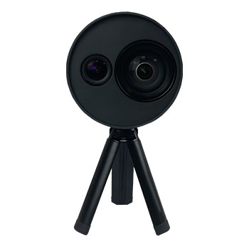
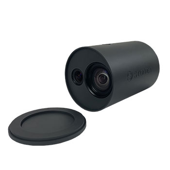
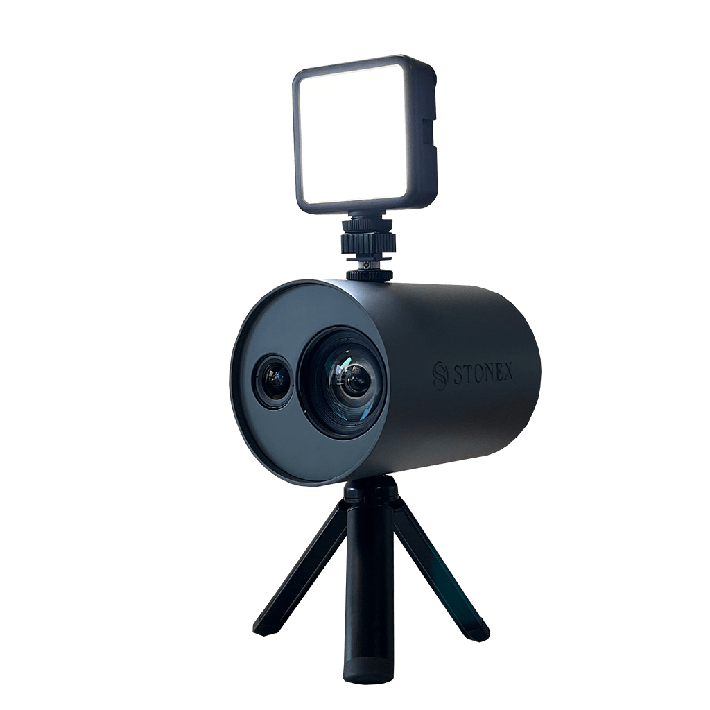
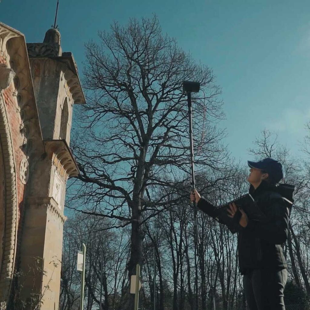
LASER SCANNING SOLUTIONS

XVS vSLAM 3D Scanner

New generation photogrammetry

The system uses a technology based on the integration of high-resolution images, inertial systems and a complex algorithm: capturing a scenario with XVS, 3D model will be generated through photogrammetric techniques.

Walking and capturing the scene in motion, a real-time interface will guide you in the data collection, suggesting the speed of your movement and if necessary returning to an area to have enough image overlapping.

Thanks to Visual SLAM system (Simultaneous localization and mapping), your trajectory is displayed in real-time on a tablet. The Inertial Measurement Unit (IMU) sensor helps the algorithm to generate a continuous image block. The best result will be obtained automatically. Back in the office, the procedure to generate the 3D model is fully automatic, through a desktop PC.

Data coming from XVS can be integrated with video from UAV drone or any camera for a complete reconstruction of the area.

  • null

    ACCURATE

    Smart algorithm makes it possible to choose the best images and increase the accuracy of the derived model. If the capture is very close to the element (around 1m) and closing where you started-loop closure-the accuracy is 2-3mm.

  • null

    HD TEXTURES

    Based on advanced high-resolution images, it allows reconstructing the texture of the scanned material with great clarity and realism.

  • null

    SCALED AND LEVELLED RESULTS

    Through the automatic detection of targets and the use of inertial systems, scaled and levelled results can be obtained.

  • null

    EASY TO USE

    Because of its practicality and ease of use, it can be used by multiple people within a company or institution, without the need for prior knowledge of 3D scanners. The field application will guide in through the data collection.

  • null

    VERSATILE

    A variety of urban scenarios can be documented using XVS scanner, as infrastructures, accident reconstructions, gas/water connection works, building faces and others. The geometric accuracy and colour realism in the results, make it a companion also for archaeological, architectural and geological work.

Bundled Software

XVSapp

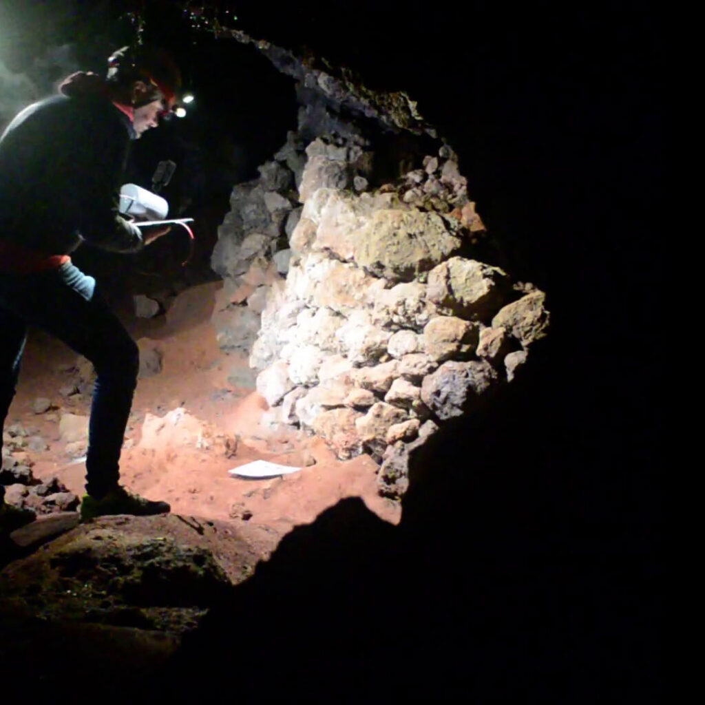
The provided software has a simple interface and helps the user by indicating how to behave in critical steps and alarming in case the object is not captured correctly. Camera parameters are fully customizable, adapting them to the surrounding environment. Suggested tablet is Microsoft® Surface PRO, not included in the bundle.
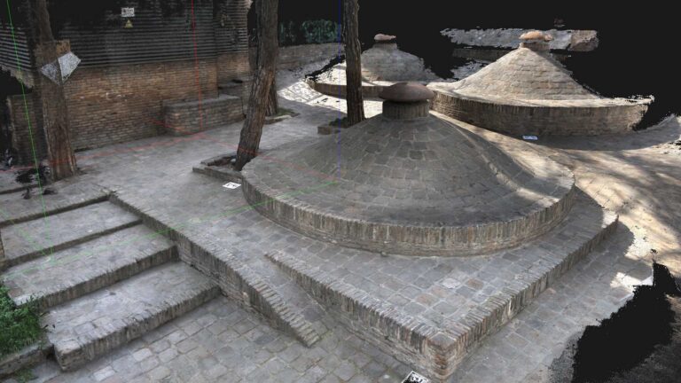
XVScloud

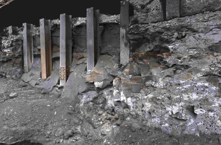
Data collected in the field can be sent to a server for advanced data processing. This service will return point cloud or mesh formats, which you can use in Cube-3d or any third-party software.

Data Examples

Data sheet

Video