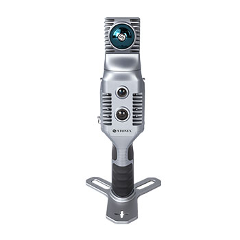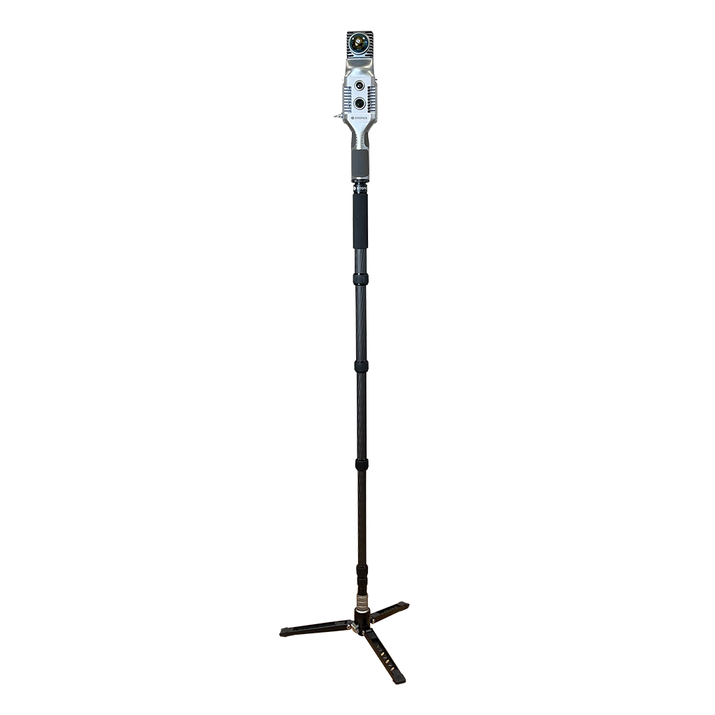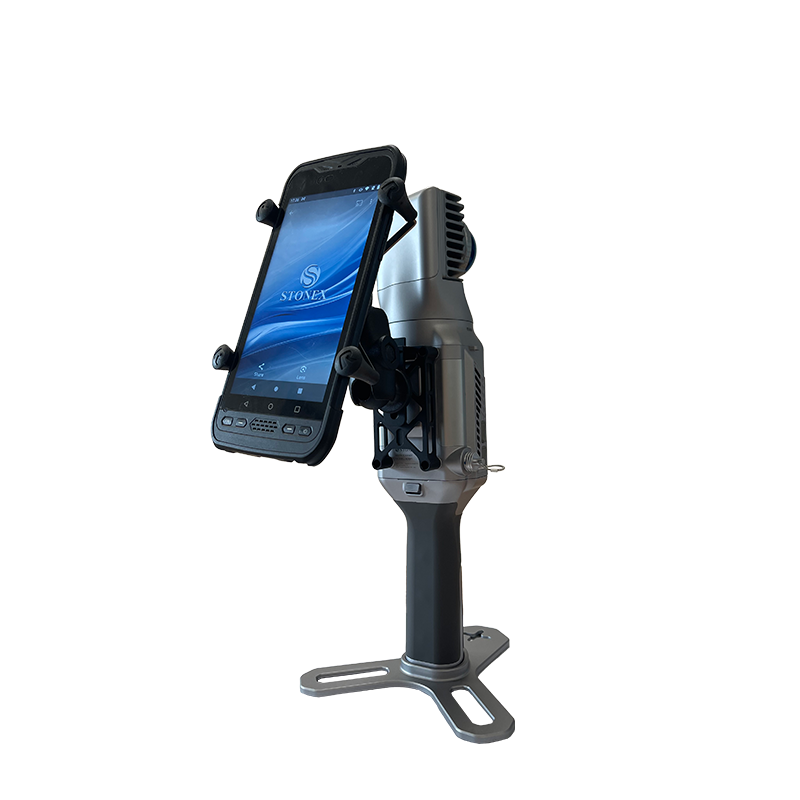

GOapp
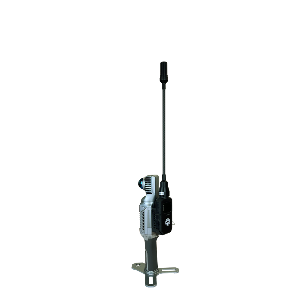
GOapp is Stonex SLAM’s dedicated mobile application to manage projects, real time point cloud display, image preview, firmware upgrade and other operations. The APP runs on Android and iOS operating systems.

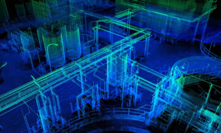
GOpost
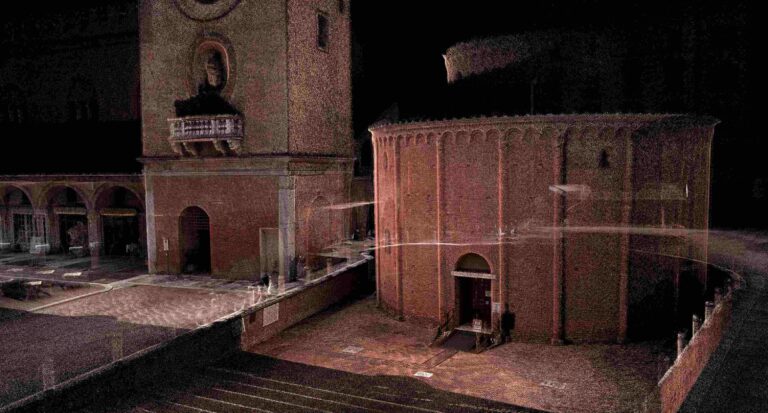
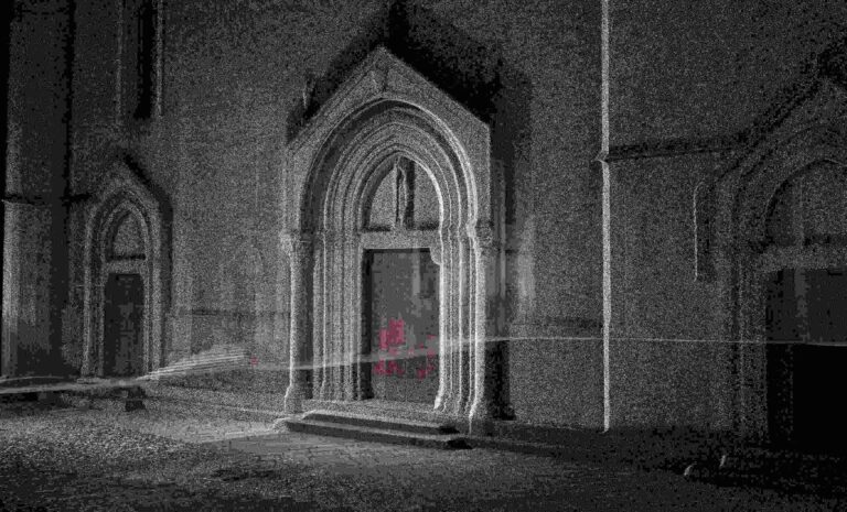
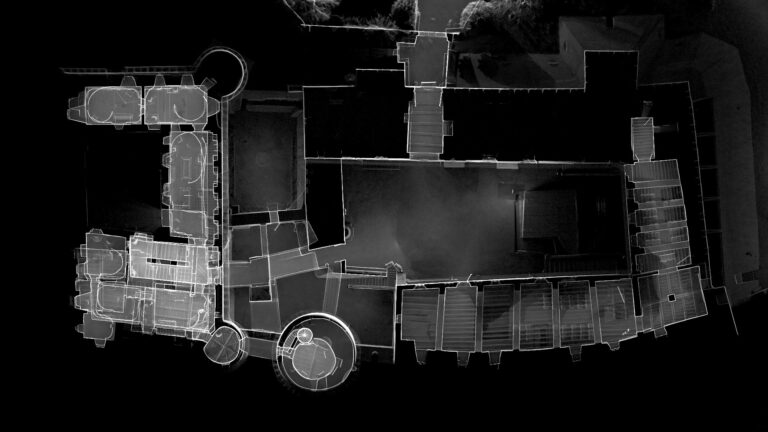
Windows post processing software which performs optimization processing, colouring of point clouds and creation of panoramic images. You can also import control points to georeference the point cloud.