
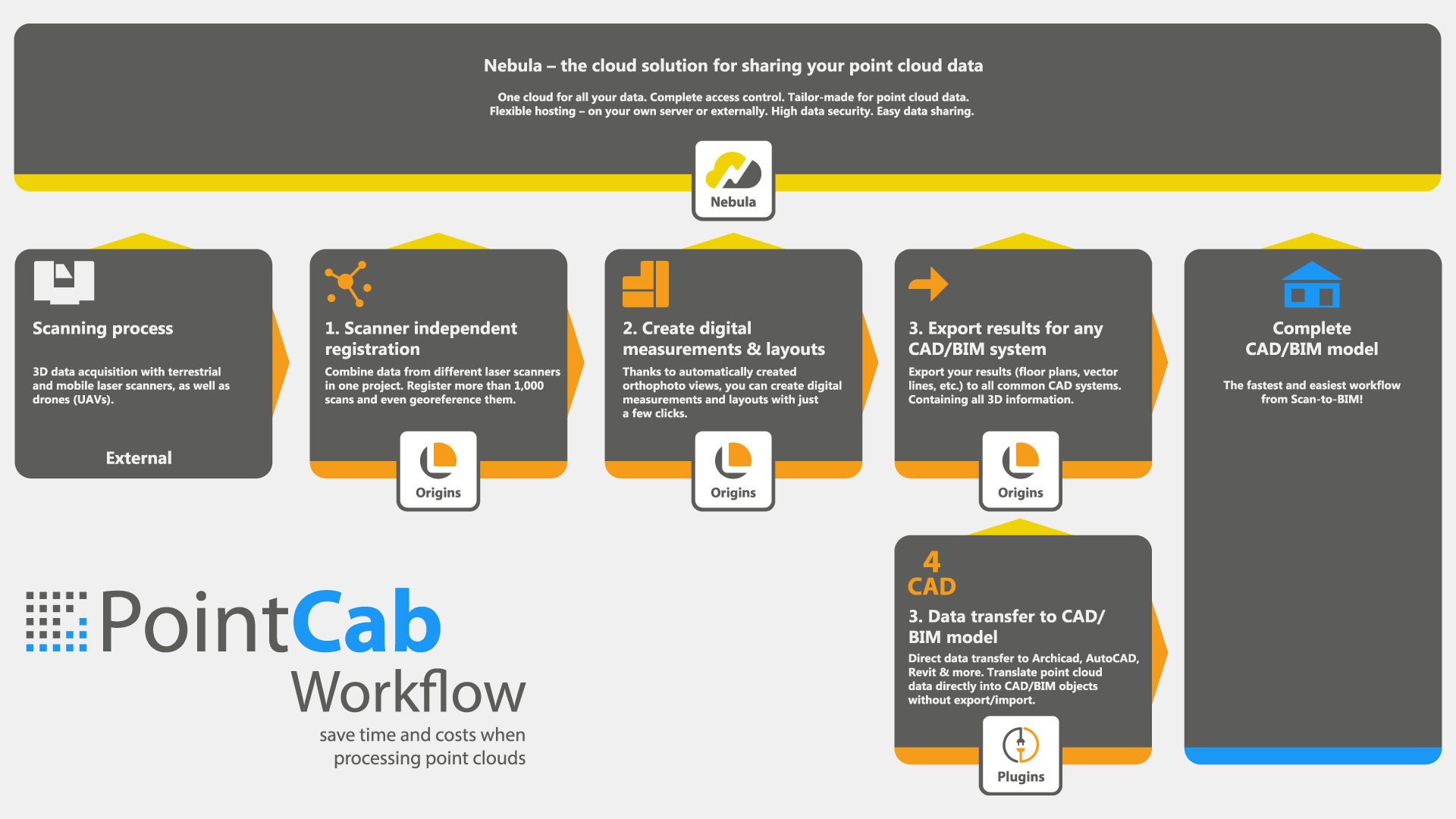
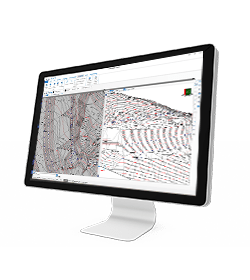
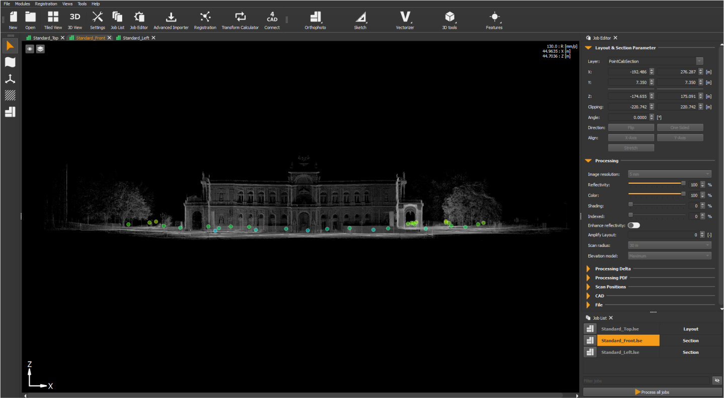
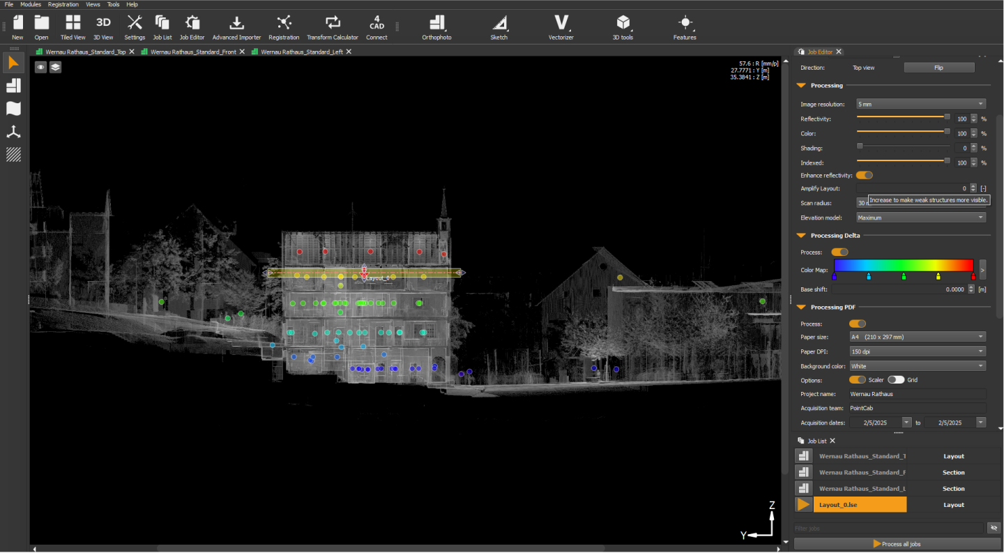
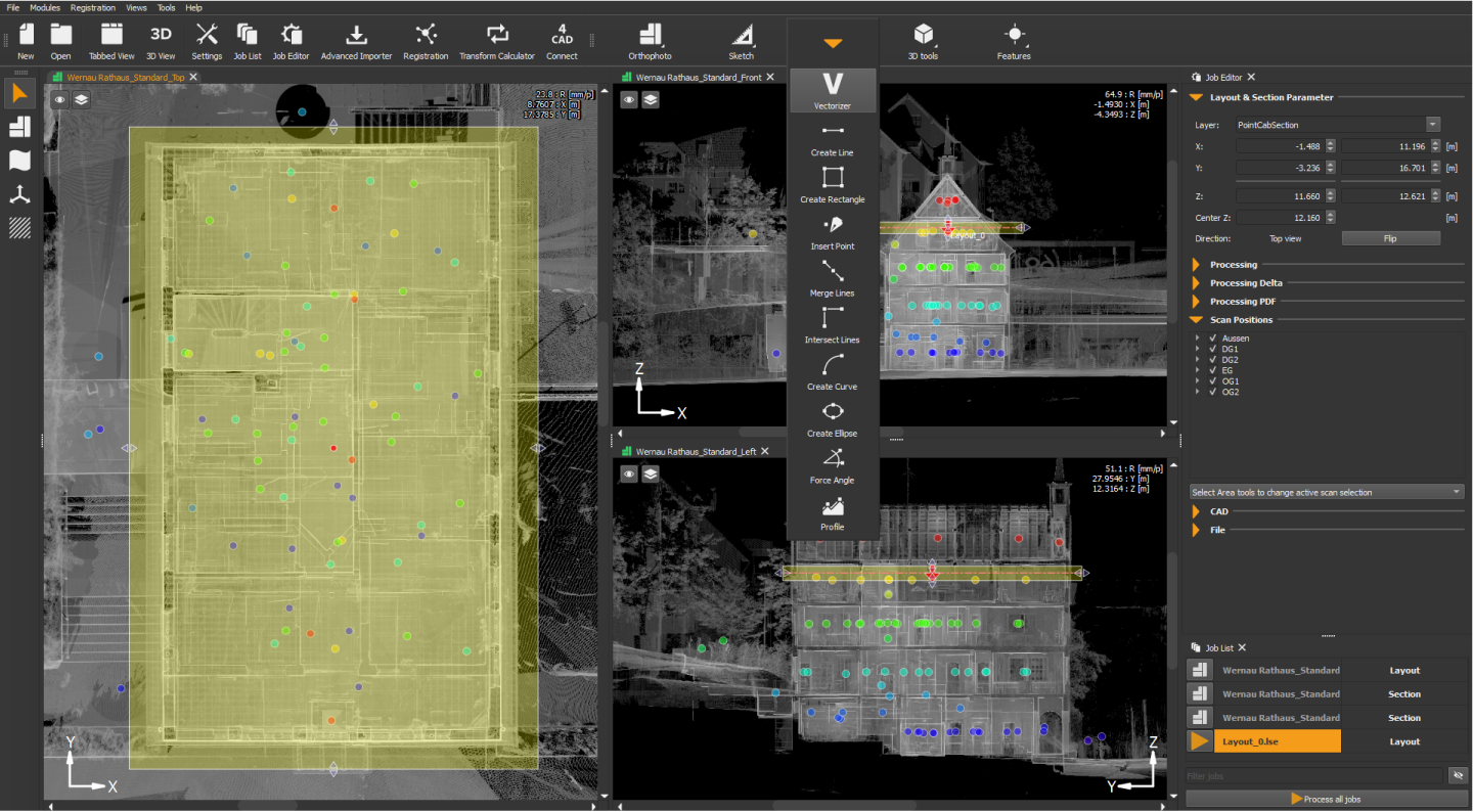
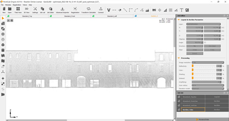
 LAYOUTS & SECTIONS
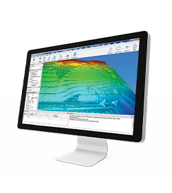
Thanks to our Layout & Section module, it has never been easier to obtain fast and precise results from the point cloud – coloured as required and including difference comparison and analysis.
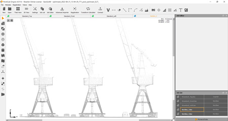
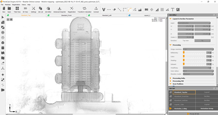
VECTORIZER
Thanks to the Semi-automatic Vectorizer, your sections and floor plans almost vectorise themselves!

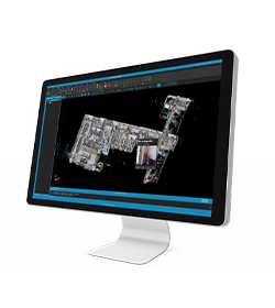
ARCHICAD POINT CLOUDS PLUGIN
Archicad point clouds with ease. With our 4Archicad point cloud plugin, you can directly & effortlessly translate your point cloud data into Archicad objects.
Don’t waste your time converting or importing and exporting point cloud data.
4REVIT PLUGIN
Bother no more with time-consuming importing, navigating, and measuring of point cloud data in Revit. Simply create your model and connect Revit with PointCab Origins. The 4Revit plugin automatically transfers all the 3D information needed to create walls, doors, windows, and other objects.