different modules
data post-processing
For Windows OS
Cube-manager Software
Manage and process the data

different modules
data post-processing
For Windows OS
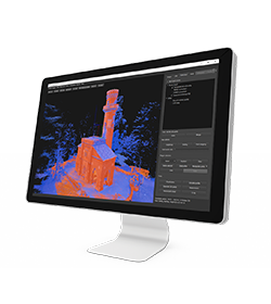
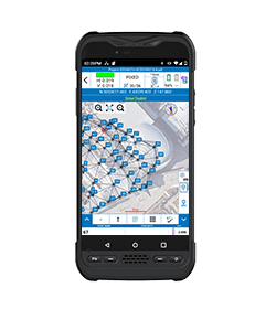
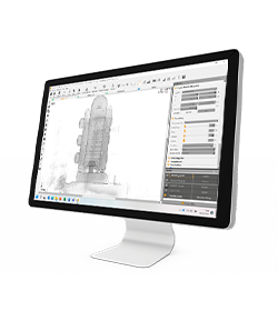
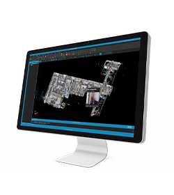
Cube-manager has been developed to work on desktop computers running Microsoft Windows and it implements the tools to download, to manage and to process the data acquired with one of the mobile solutions.
Using this software, you can integrate mixed GNSS RTK and Total Station data, process Raw GNSS data in different ways, import and export the data from and to the most popular known formats.
This software will help operators providing the best functions for data transferring, graphical visualization and analytical data processing.
The software is composed of various optional modules and a free version (Cube-link).
Cube-manager is a software for managing data from GNSS receivers and Total Stations, it is composed of 3 main modules (P, T, M), each one specialized in a series of functions. Among the functions shared by all the modules, you can have plano-altimetric elaborations, generate 3D models and calculate contour lines.
The measurements can be displayed in 2D, 3D and superimposed on raster, satellite or cadastral images. Through a sophisticated internal CAD, you can interact with the data using powerful and complete drawing tools and snap functions, even in 3D. Importing and exporting data are supported in various formats such as DXF, DWG, KML, CSV and others.
Cube-manager-p
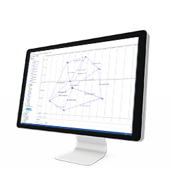
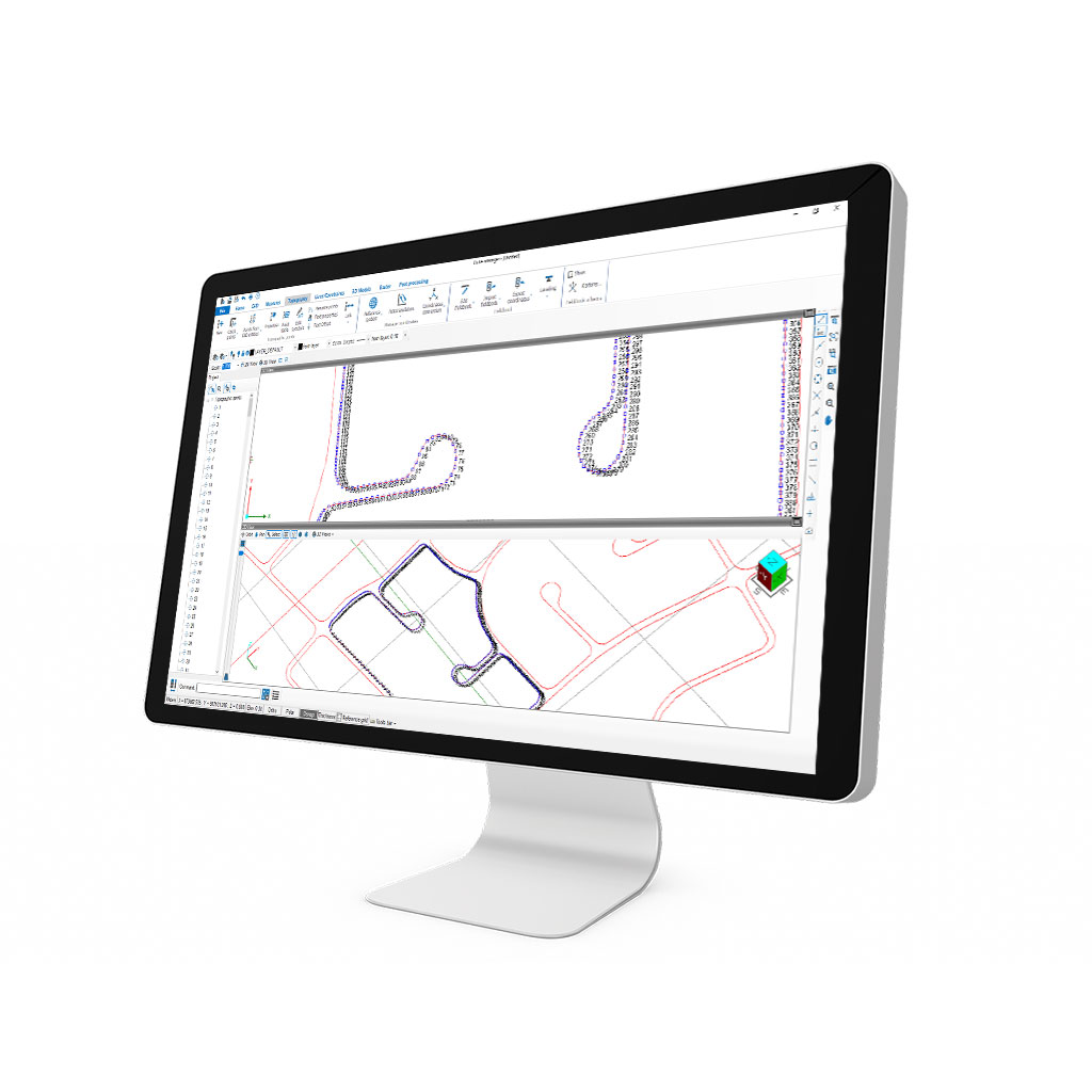
The P is the Cube-manager’s optional module dedicated to the post-processing. It offers the possibility to perform correction calculations with maximum accuracy.
In addition to the basic features of the software, this module provides functions for the calculation of Stop&Go post-processing, Static post-processing for single and multiple bases, Kinematic post-processing, and least-squares Network Adjustments. Cube-manager-p is constantly updated to improve its performance.
Cube-manager-t
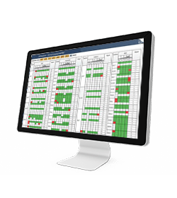
The T is the Cube-manager’s optional module that enriches and completes the topographic functions of the software. This module provides sophisticated functions of roto-translation and coordinate conversions. It enhances the management of TS surveys by integrating the traverse calculations and the 2D network calculation. It allows the georeferencing of raster images. The aim of our developers, when implementing these functions, is always simplicity and intuitive use; in addition to that, users can always make use of technical support.
With Stonex targets, the time needed will be even shorter, centering is immediate. Even working with RTK drones, it will be easy to achieve centimeter accuracy without GCP.
Cube-manager-m
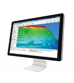
The M is the Cube-manager’s optional module dedicated to modeling. This is the module designed for professionals who will work on constraint triangulations, volume calculations, contour lines, height profiles etc.
In this case the users will have all the CAD commands, COGO commands and functions on the graphic entities provided in the basic software core but will also be able to perform even more specific functions such as those mentioned above.
CUBE-LINK
Cube-link is a free version of Cube-manager for downloading data from GNSS and Total Station to personal computers. The downloaded data can be displayed graphically and analytically. The operator has simple COGO commands for measuring distances, areas, and perimeters.
Importing and exporting data are supported in various formats such as DXF and CSV, as well as Stonex data formats.
MANAGING DATA
DATA INPUT
• Aerial images
• Video
• Images taken by any hand camera
• Total stations & GNSS points
• Region geoid data
• *.dxf data
• Cube-a format (*.cx3d)
• Photogrammetry point cloud
• LIDAR point cloud
• XML surface data
• Orthophoto maps
• Underwater images
• Predefined camera parameters import
• Telemetry data import
• Camera offset support
• Cube-a format (*.cx3d)
• Bathymetry sonar cloud
DATA OUTPUT
• Orthophoto (*.Tiff, *.JPG, *.PNG, *KMZ, …)
• Textured 3D model (*.obj, …)
• Point cloud (*.e57, *.las, *.ply, …)
• Digital surface model (*.obj, *.xml)
• Regular/irregular grid mesh
• Contour lines (*.dxf, *.pdf, …)
• CAD drawings (*.dxf)
• Selected points (*.dxf, *.txt, …)
• Quick scketches (*.pdf, *jpg, *.png)
• Survey maps (*dxf, *.pdf, *.jpg, …)
• Camera parameters
• Undistorted images
In March 2022 Stonex had the opportunity to carry out a series of surveys inside and outside the “Torretta Viscontea” located in the Monza Park

