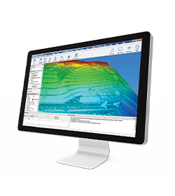
Collect in minutes millions of points, recording your urban environment with Stonex Laser Scanners. Laser Scanner and GPS integration will speed up your 3D scans georeferentiation and integration with existing GIS data.
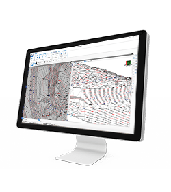
Cube-3d Software will help you in reconstructing wide areas in the virtual model, and performing segmentation and classification of buildings, signs, trees, etc.
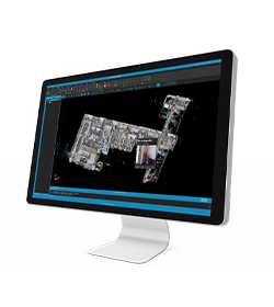
Integrated models can also easily be created by combining Laser scanner point clouds, photos, photogrammetric models, thermal images, Satellite/Aerial imagery.
Collect point clouds in minutes
Fast return on investment, thanks to improved productivity