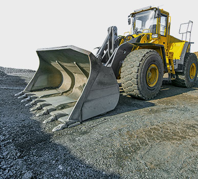
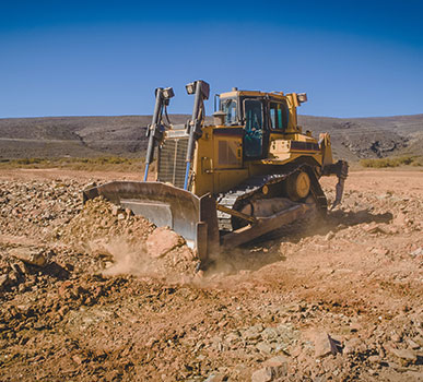
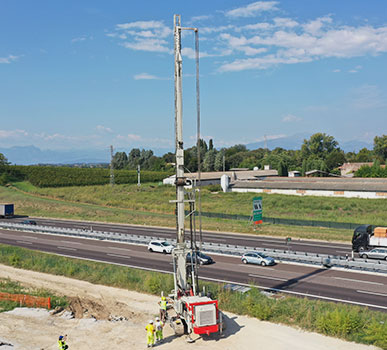
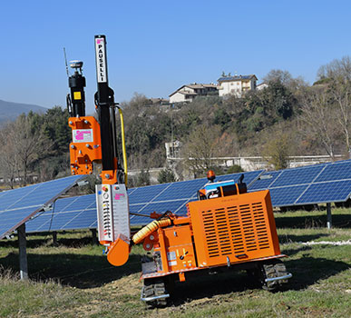
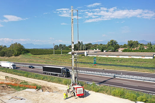
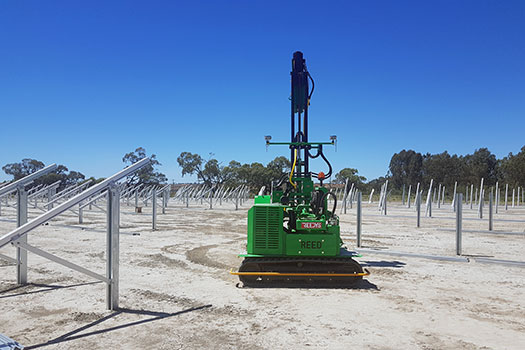
Effective and easy to install solutions for earthmoving, drilling and piling. Precision positioning of machines, buckets and blades.
Our machine control systems adapt to different machines and to different scenarios and applications. Over the years, Stonex has developed guidance and machine control solutions that are easy to install and use.
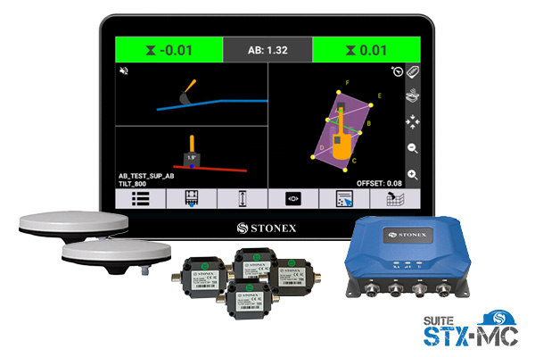
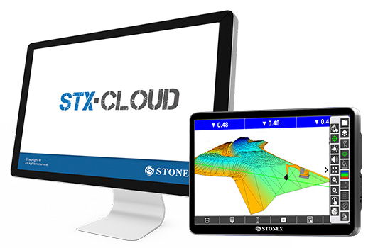
User friendly interface
High accuracy system
Easy to install
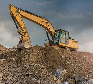
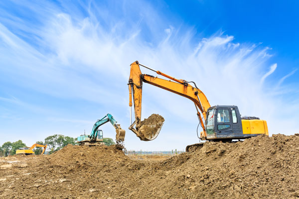
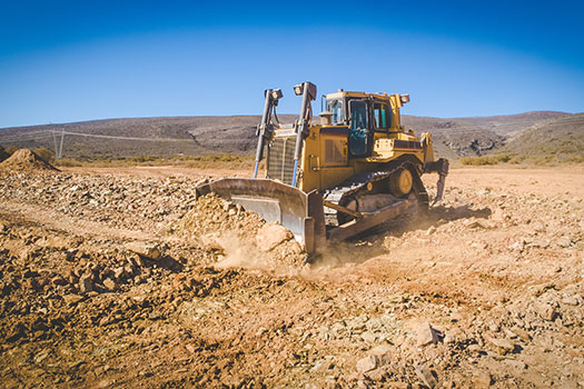
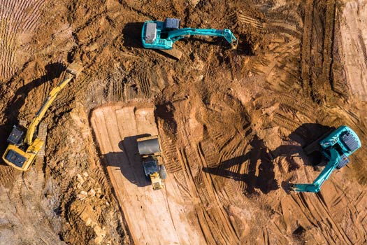
EXCAVATORS
Machine control solutions for every type of excavator
